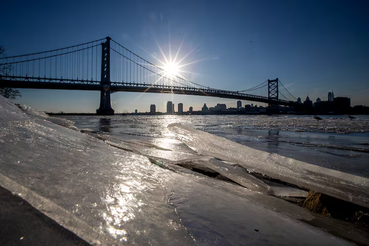
In the ranks of wintry precipitation, freezing rain is about as popular as a Kansas City Chiefs fan in South Philly.
But along with sleet and a dash of snow, an icy glaze of freezing rain could make for an adventurous morning commute on Thursday, forecasters are warning.
“This could get a little dicey for the morning commute,” said Dave Dombek, senior forecaster with AccuWeather Inc.
”It’s certainly possible,” agreed Zack Cooper, meteorologist with the National Weather Service Office in Mount Holly, which has issued a winter weather advisory from 11 p.m. Wednesday to 10 a.m. Thursday for the entire region for up to an inch of snow and ice and 0.1 inches of freezing rain.

Snow and sleet can be dangerous, but freezing rain can be perilous. A mere veneer can turn sidewalks and paved surfaces into friction-less skating rinks.
And coinciding with the 15th anniversary of perhaps the most eventful weeks in Philadelphia’s weather history, a clone storm is due on the weekend, and more snow and ice are possible next week.
What time will the precipitation start in Philly and when will it end?
Snow and sleet — which is rain or melted snow that freezes on the way to the ground — are more likely Wednesday night, but significant accumulations aren’t expected, perhaps up to an inch.
Of more concern would be the freezing rain, which is rain that freezes on contact with surfaces. A mere tenth of an inch is enough to cause significant commuting problems.

The best chance of freezing rain would from about 4 a.m. to 8 a.m., Cooper said.
Precipitation is expected to continue into the afternoon, but it should be all rain by midmorning throughout the region as temperatures shoot back toward the 40s.
Is it possible that the icing could continue longer than forecast?
Yes, especially north and west of I-95, said Paul Dorian, a meteorologist with Arcfield Weather based in Valley Forge.
After falling into the mid-20s, temperatures Wednesday are due to rise to just above freezing and then drop back to the upper 20s Wednesday night.

The cold air mass that will have built into the region is likely to put up a fight against the surging warmth, which will flood the upper atmosphere.
Freshly arrived cold air is more stubborn than longer-lingering chilly air that is approaching its expiration date, said Dorian, adding that it’s possible that frozen precipitation could persist through the morning in some parts of the region.
Looking ahead to the weekend, Philly can expect a clone storm
A copycat storm is expected during the weekend, with another round of light snow and a wintry mix starting Saturday afternoon into the night.
This time, said Dombek, the cold air may be more reluctant to give up ground, resulting in a longer period of frozen precipitation.
Dorian said accumulating snow is “on the table” for the middle of next week.
It was 15 years ago that a pair of copycat storms smothered Philadelphia under 44.3 inches of snow, 28.5 inches on Feb. 5-6, 2010, and 15.8 on Feb. 9-10, with up to two feet outside the city.
At least that won’t be happening this week.