This is a developing story and will be updated. For the most up-to-date information about the fire you can check:
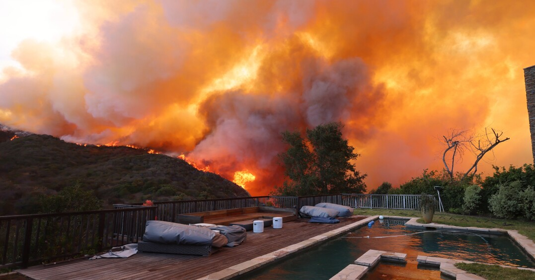
The Palisades Fire that broke out in the Santa Monica Mountains Tuesday morning sent hundreds of residents fleeing, some of them on foot, as they tried to outrun advancing flames driven by extremely strong winds.
The fire was reported around 10:20 a.m. and immediately began charging toward the community of Pacific Palisades, burning 772 acres as of around 2:30 p.m. Video from our partners at KCAL News showed people walking on Sunset Boulevard toward Pacific Coast Highway after being told by officers to abandon their cars and walk to safety. Many were seen holding bags and pets as they made their way towards the ocean.
By 2 p.m., footage showed multiple structures engulfed in flames, though the extent of the damage was unclear and officials did not immediately have an initial assessment.
 A firefighter douses a hot spot as a brush fire burns in Pacific Palisades, California on January 7, 2025.
The fire is being pushed by dangerously strong wind gusts that are only expected to strengthen through Wednesday morning. The National Weather Service said gusts could reach 100 mph in some mountain locations.
Don’t be surprised if the fire reaches the ocean.
The basics
- Acreage: 772 acres as of 2:20 p.m. on Tuesday
- Containment: 0%
- Structures destroyed: Unclear
- Cause: Unclear
 Smoke from the Palisades Fire rises above the downtown L.A. skyline on January 7, 2025.
Evacuation map and orders
Evacuation orders were issued by the L.A. County Fire Department at 11:52 a.m. via the federal Wireless Emergency Alert System.
Evacuation zones are changing fast, so check out the most up to date, interactive map here.

Authorities say those who require additional time to evacuate and those with pets and livestock should leave immediately, even if they’ve received evacuation warnings.
Evacuation center
Westwood Recreation Center: 1350 S. Sepulveda Blvd. (accepts small animals)
 Firefighters work to extinguish flames engulfing a home as a brush fire rages in Pacific Palisades, California, on January 7, 2025.
Road closures
Pacific Coast Highway is closed in both directions at Topanga Canyon Boulevard.
Other closures as of Tuesday afternoon: Southbound PCH at Las Flores Canyon Road; Southbound PCH at Topanga Canyon Boulevard; Coastline Drive and southbound PCH. According to the CHP, traffic in those areas will be diverted northbound on PCH.

Listen to our Big Burn podcast
Get ready now. Listen to our The Big Burn podcast
Jacob Margolis, LAist’s science reporter, examines the new normal of big fires in California.
Resources to prep and cope with wildfire


