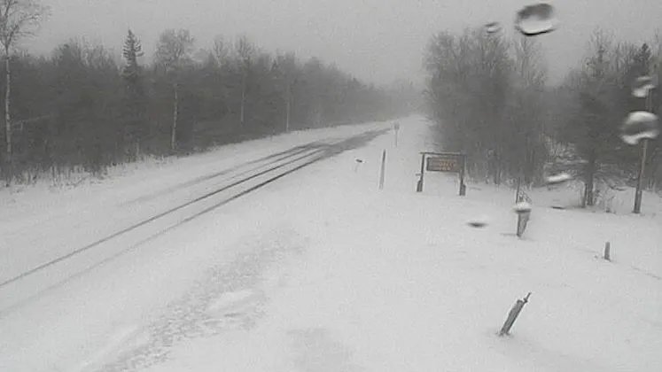
Forecasters say a winter storm expected to sweep into Michigan Wednesday afternoon could bring nearly a foot of snow to some locations — 4-5 inches more than previously predicted.
Almost all of the Lower Peninsula is under a winter storm watch through Thursday. Road conditions could be dangerous, the National Weather Service said on Tuesday.
Latest estimates from the NWS say as much as 11 inches of snow could fall across a wide swath of Michigan by the time the storm ends Thursday. On Monday, estimates ranged from 2-9 inches.
“There’s still some uncertainty in snowfall amounts for the upcoming winter storm,” the NWS Grand Rapids office said.

The agency said the area from South Haven to Ludington, and east to Mount Pleasant and south to Lansing should expect at least 3 inches of snow. Likely totals are much higher.
Hastings, in southwest Michigan is likely to see 7 inches while Grand Rapids, Lansing, Big Rapids, Muskegon and Kalamazoo will see at least 6 inches.
The weather service cautioned, though, that totals in those areas could reach up to 11 inches by Thursday.
Residents should prepare for hazardous travel conditions Wednesday evening and Thursday morning, and drive cautiously, the weather service advised.

“Snow may fall up to 1 inch per hour Wednesday evening, slowing down travel speeds substantially and increasing your chance of getting stuck in a slide-off,” the weather service said.
Here’s what the National Weather Service is saying.
How much will it snow in southwest Michigan?
The storm is expected to track northeast through Michigan as it moves out of Indiana.
Southwest Michigan, including Sturgis and Coldwater, is under a winter storm watch, the NWS office in Northern Indiana said.

The Benton Harbor area had been predicted to see 9 inches of snow; that total has been increased to as much as 11 inches, the weather service said.
The Sturgis and Coldwater area is expected to see up to 8 inches of snow from the storm.
Highs will be in the low 30s and 20s, dropping to the teens and single digits overnight.
How much will it snow in Detroit?
Southeast Michigan is under a winter storm watch, the NWS office in White Lake said. Heavy snowfall Wednesday afternoon and overnight could bring 4-7 inches of snow.
The weather service said to expect at least an inch Wednesday in the Detroit area with an additional 5 inches by Thursday.

The region will be cold throughout the week, with highs in the 20s and 30s dropping to lows in the teens and 20s overnights.
How much snow will Port Huron and the thumb see?
Port Huron and the thumb region are under the winter storm watch through Thursday morning, the Detroit/Pontiac NWS office said.
Snow accumulation could reach 6-8 inches.
Highs will be in the 20s, dropping to the low 20s, teens and single digits overnight.
Will northern Michigan get a lot of snow?
Northern Michigan is in for a wintery week, including a mid-week storm, the Gaylord NWS office said. The winter storm is set to bring accumulating snow Wednesday early afternoon into Thursday morning.
Snowfall could reach up to 6 inches or more around Saginaw Bay and near Lake Huron, the NWS says.

Along Lake Michigan, in the Harbor Springs and Petoskey areas, up to 6 inches of snow could fall Wednesday to Thursday, the weather service said.
On the east side of the state, the area from Saginaw Bay north to Alpena has about a 50% chance of seeing 8 inches of snow, the weather service said.
The Gaylord office said there is a high probability for at least 4 inches across most of northern Michigan.
“Hazardous to even dangerous travel are possible at times, with most widespread travel impacts coming late Wednesday through Thursday morning,” the weather service said.
Across the region, highs are in the teens and 20s, with lows in the teens and single digits, dropping negative in some areas.
How much is it expected to snow in west Michigan?
West Michigan is under a winter storm watch, the Grand Rapids office NWS office said.
The storm is likely to bring 3-6 inches of snow to the region Wednesday through early Thursday, the NWS said.

“Areas north of Muskegon and Big Rapids, including the Ludington area, may see a half-inch to 2-inch snow this morning, with little expected elsewhere,” the weather service said. “Then between Wednesday afternoon and Thursday morning, several inches of snow is a fair bet for much of Western and Mid Michigan.“
Cold will persist this week, with highs in the 20s dropping to the 20s and teens overnight, the NWS says.
How much snow fill fall in Lansing?
The mid-Michigan area could see snow accumulations reach 3-6 inches, possibly up to 10 inches, the National Weather Service said.
The weather service said 2 inches or more is likely to fall Wednesday with an additional 5 inches falling by Thursday.
Highs this week will be in the 20s, dropping to the 20s and teens overnight.
How much snow will the Upper Peninsula get?
Parts of the central and western Upper Peninsula were under a hazardous weather outlook Tuesday, with light snow accumulations and overnight temperatures as low as minus 20 in some areas, the Marquette NWS office said.

The region will see about an inch of snow Wednesday into Thursday.
Conditions will be frigid throughout the week, with highs in the 20s, teens and single digits, dropping to single digit and negative lows overnights, the NWS said.
In Sault Ste. Marie, a hazardous weather outlook is in effect Tuesday with accumulating snow. Additional snow is expected Wednesday, the NWS office in Gaylord said, with up to 2 inches of snow expected.
Highs will be in the 20s and teens, dropping to teens, single digits and negatives overnights.
Contact Jenna Prestininzi: [email protected].