Snow accumulations from 2 to 6 inches are expected in the affected regions.
Blizzard warnings are in place for parts of Kansas and Nebraska, with winter storm watches — which could turn to blizzard warnings — stretching northeast into Iowa, Minnesota, Wisconsin and into the upper peninsula of Michigan.
Snow accumulations from 2 to 6 inches are generally expected, with higher amounts locally being possible. Wind gusts of up to 60 mph are also possible and could reduce visibility to a quarter mile or less for large parts of the day making travel difficult or even impossible in some areas.
The blizzard is expected to hit Wednesday morning and head east through the afternoon, stretching from Kansas City to Green Bay before it loses some strength.

Ahead of the snow, there is a likelihood a line of storms form along a cold front and some of these storm could turn severe due to damaging wind gusts and large hail, though tornadoes are unlikely.

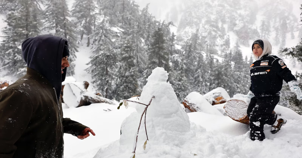
Members of the Ovoian family play in the snow while constructing a snowman during a late winter atmospheric river storm passing through the San Gabriel Mountains in Los Angeles County on March 13, 2025 near Mount Baldy, California.
A slight risk for severe weather also extends from Chicago to Evansville later this afternoon and into the evening with storms moving past Chicago around 6 p.m. CT.
The storm system is expected to give a dusting of snow to Chicago on Thursday morning and may make the commute a little difficult with reduced visibility.

On Thursday afternoon, showers will move into Washington, D.C. by 4pm and then move on to New York Coty later in the evening, ending around 7 a.m. Friday morning, but continuing for Boston and parts of the New England region until early afternoon.