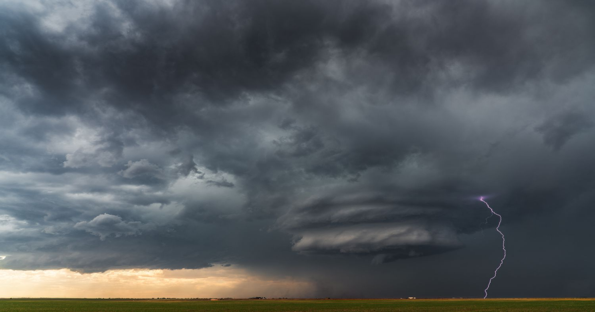
Severe storms are on the way this weekend and have the potential for unleashing powerful tornadoes and destructive hail across the South.
A “squall line of storms” will begin to develop Friday afternoon in the central U.S., according to a Fox Weather report. The area at highest risk for tornadoes stretches 750 miles from Davenport, Iowa, to Jackson, Mississippi. Cities in the mid-Mississippi Valley like St. Louis, Missouri; Memphis, Tennessee; Paducah, Kentucky; and Little Rock, Arkansas will likely experience the most severe weather. Predictions include gusts of 70-90 mph and hail that could get as big as golf balls.
“Today may end up as one of the more prolific severe weather outbreaks in recent memory in the bi-state region,” a forecast from the National Weather Service in St. Louis states.
On Saturday, the storms will begin to shift east, but the worst weather will move farther south to cities like New Orleans, Louisiana and Birmingham, Alabama. Some of Louisiana as well as parts of Alabama “are under a Level 4 out of 5 risk, indicating a high likelihood of supercell thunderstorms capable of producing tornadoes and damaging winds,” Fox forecasters predicted.

But as of Friday afternoon, CBS42 reported that Birmingham, as well as other surrounding towns are now considered a level 5 risk, the highest there is.
By Sunday, the storm will have weakened somewhat and moved to the East Coast, where it will impact drivers on the I-95 corridor. Tornadoes are most likely to appear on the Virginia coast and in North and South Carolina. Strong winds and hail could occur anywhere on the East Coast from Jacksonville, Florida up to New York.
Thanks for your feedback!